Things To Do!
Finding fun new things to do in Clarksville [...]
Welcome Back Govs
Welcome Back GOVS!!! Everyone here at the GIS [...]
Ramen Hacks
As college students we are very familiar with “struggle” [...]
Honoring African American Veterans of Clarksville By Kate Marston
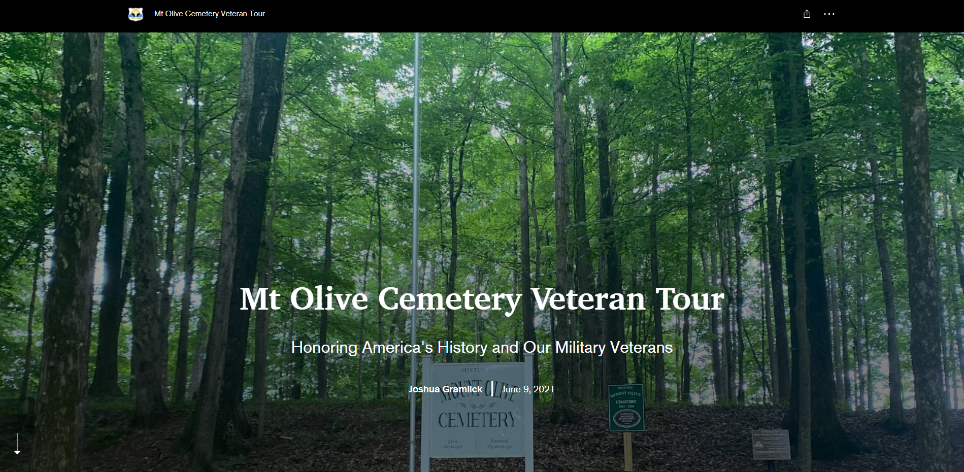
The APSU GIS Center has partnered with the Mt. Olive [...]
Montgomery County Near Me Map By Kate Marston
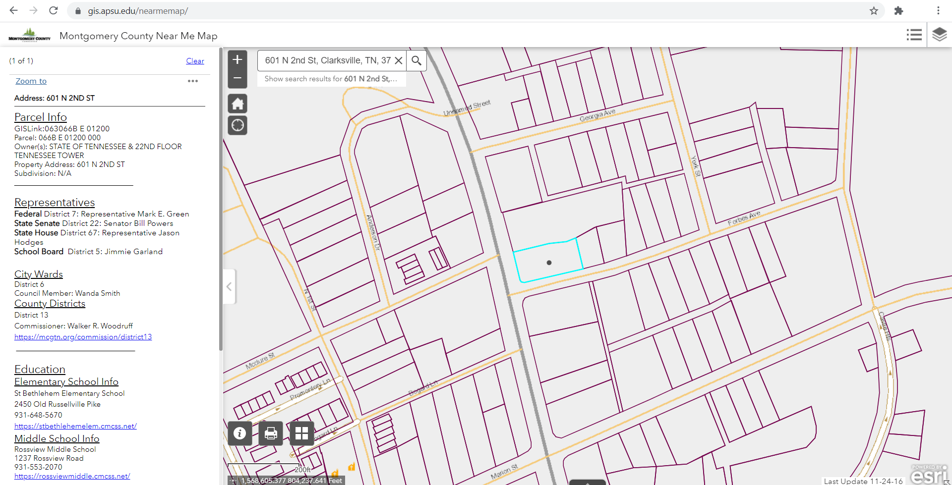
Finished by the GIS center in April of 2021, the [...]
Applications of GIS
While doing some research a couple of our student workers stumbled across “1000 GIS Applications”( you can find the full 1000 here 1000 GIS Application ). They thought it would be a cool idea to go through the list to see which applications pertain to our center and jobs we have done or are currently doing. Here are the applications we have discovered we use within the APSU GIS Center, broken down by job field.
- Field Technicians:
- #279 – Habitat Suitability
- #298 – Global Ecology Land Units
- #317 – Geotagging Photos
- #375 – Wetland Inventory
- #377 – Storm Water Runoff
- #647 – Stormwater Pollution
- #800 – Texture Classification
- #840 – Global Positioning Systems
- Office Technicians:
- #147 – Nearest Location
- #149 – Internet Geocoding
- #150 – Geocoding Business
- #151 – Reverse Geocoding
- #196 – Emergency Calls and Dispatch
- #334 – Campus Navigation
- #612 – Zip Code Maps
- #621 – Asset Management
- #631 – Spatial Data Infrastructure
- #641 – Cemetery Mapping
- #727 – Enabling Governments
- #910 – Shortest Path
- #930 – Active Transportation Planning
- Social Media/ Marketing:
- Drones:
- # 67 – Development Planning
- #270 – Search and Rescue
- VR Technician:
- #407 – Oculus Rift
- #408 – Building Virtual Environments
We use GIS technology in almost all that we do here! Now that isn’t just because we are a GIS Center, other industries and businesses are built around GIS technology! Check back in later where we go over the top industries and businesses that utilize GIS.


Leave A Comment
You must be logged in to post a comment.