
Ramen Hacks
As college students we are very familiar with “struggle” meals; the most common one being ramen. We have all eaten ramen at one point or another and if you are like me it becomes [...]
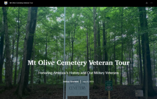
Honoring African American Veterans of Clarksville By Kate Marston
The APSU GIS Center has partnered with the Mt. Olive Cemetery Historical Preservation Society to map and document the burial places of African American soldiers buried at Mt. Olive Cemetery. The graves being mapped include [...]
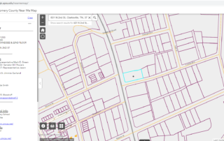
Montgomery County Near Me Map By Kate Marston
Finished by the GIS center in April of 2021, the Near Me Map is designed to help future and current residents of Montgomery County and the City of Clarksville locate various features of their surrounding [...]
Alumni Spotlight: Jack Kauphusman
Jack Kauphusman, GIS Center alumnus, first started working with the center in 2019. Since then, he’s gone on to graduate from APSU and work as a biologist in Arizona. "From my network with the Biology [...]
Digital Sundial
History and Function of Sundials Sundials are used to tell time with the sun. Throughout the day, the sun moves across the sky while the Earth orbits it. We’re able to see what time it [...]
APSU GIS Center 3-D Prints Microscope
Today, average microscopes range from seventy to a few hundred dollars. However, researchers continue to develop more cost-effective alternatives to traditional microscopes. Through the use of different materials, ranging from legos to paper, microscopes are [...]
The Wetlands Project
The APSU GIS Center is currently overseeing the Wetlands Project. The center is working with the APSU College of STEM and the Ft. Campbell military base. APSU Biology students are mapping and validating the wetlands [...]


