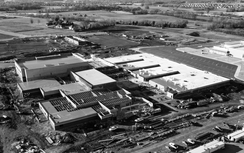
Our drone pilots have been documenting the construction each month at [...]
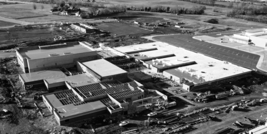

Our drone pilots have been documenting the construction each month at [...]

The APSU GIS Center has recently added Matterport cameras to our [...]
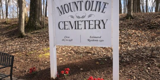
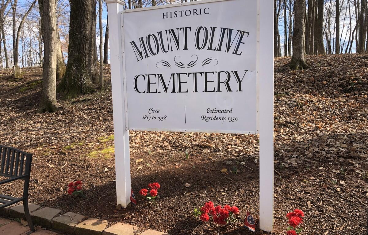
This is a StoryMap of the Mt. Olive Cemetery Veteran Tour [...]

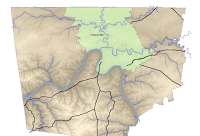
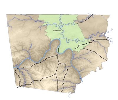
The APSU GIS Center is partnered with Montgomery County and [...]
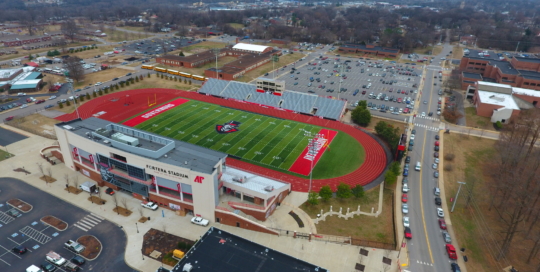
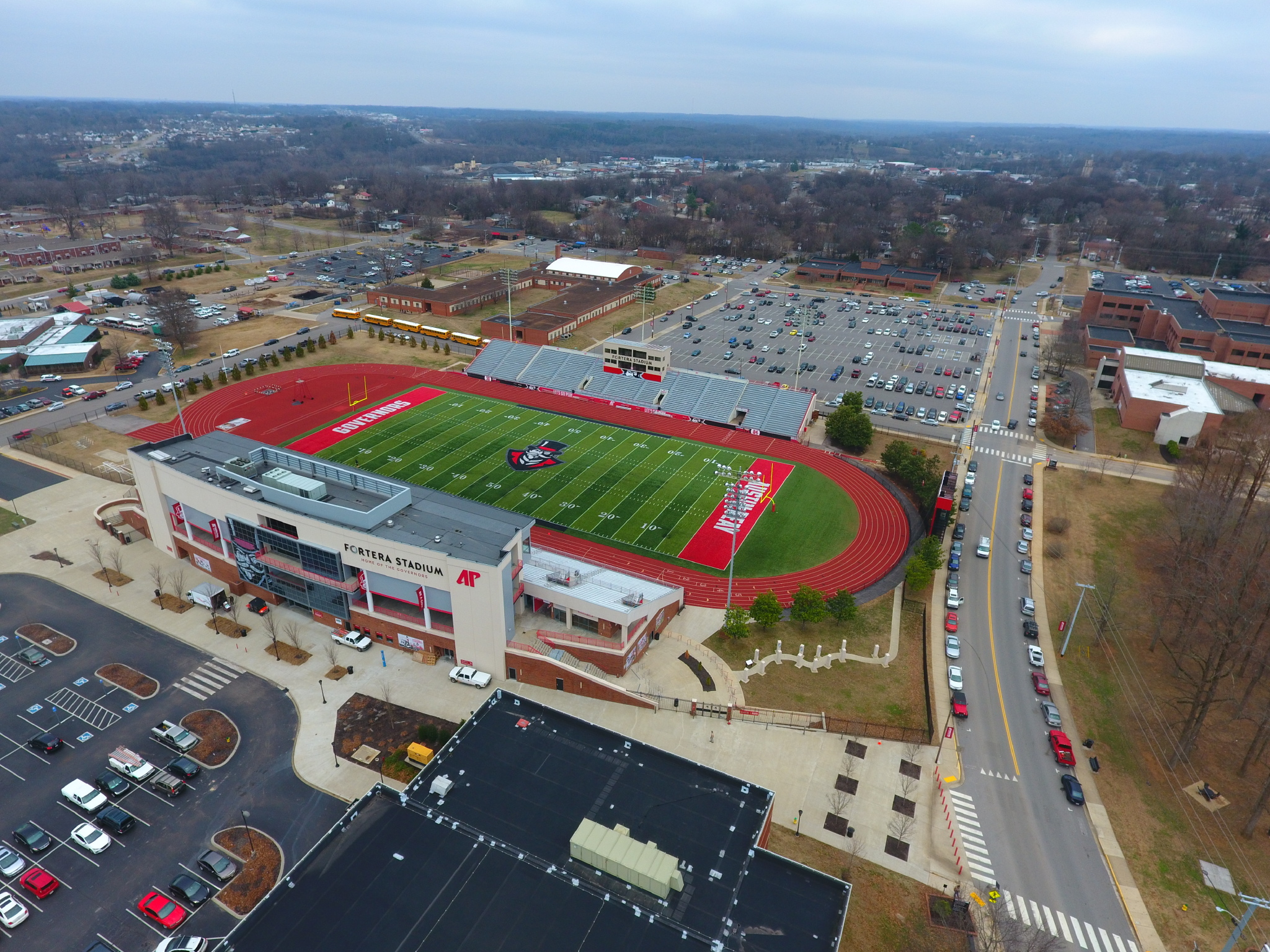
APSU Drone Mapping Program Aerial imagery is an integral [...]
Montgomery County GIS The GIS program provides information for the Clarksville and [...]