
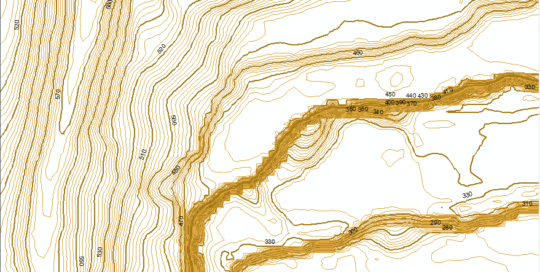
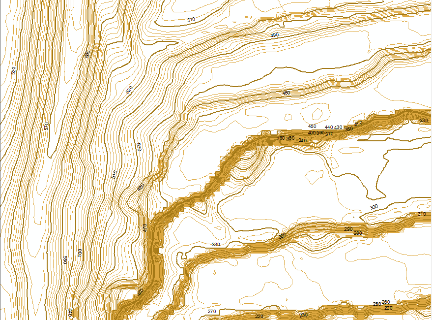
These are contour lines of Montgomery County that [...]
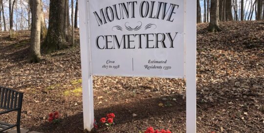
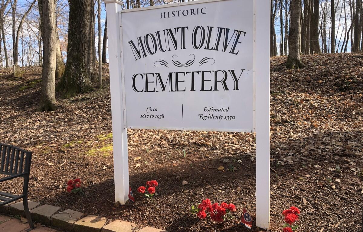
Mt. Olive Cemetery Veterans Tour
Mason Cordell2021-10-27T11:50:25-06:00This is a StoryMap of the Mt. Olive Cemetery Veteran Tour [...]
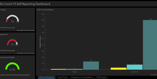
APSU COVID-19 Dashboard
Mason Cordell2022-06-23T09:25:52-06:00The APSU GIS Center created a dashboard to monitor the [...]

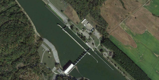
Wetlands Project
Mason Cordell2020-08-12T09:57:01-06:00The APSU GIS Center is partnered with the APSU College [...]

Montgomery County Sidewalk ADA Compliance Survey
Mason Cordell2020-08-18T15:26:34-06:00The APSU GIS Center is partnered with Montgomery County and [...]

Austin Peay History Map
Mason Cordell2022-06-23T09:31:45-06:00Austin Peay History Map Austin Peay State University is [...]
Cheatham County GIS
Mike Wilson2018-07-05T08:49:11-06:00Cheatham County GIS The GIS program provides information for the Cheatham County, [...]