Project Description
APSU Drone Mapping Program
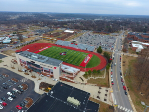
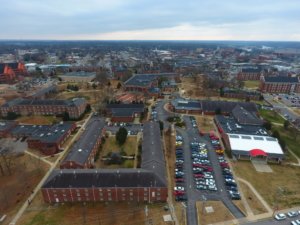
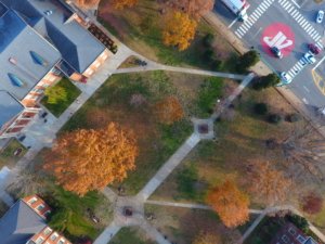
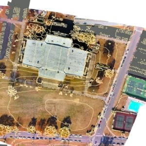
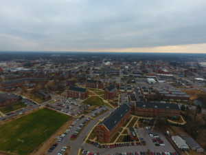
Aerial imagery is an integral part of any geographic information system. The increasing accessibility of commercial drones has made it easier to take high-quality aerial imagery. The APSU GIS Center is currently researching better methods and techniques for taking comprehensive low-level imagery by testing in local areas, such as Austin Peay State University.
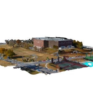
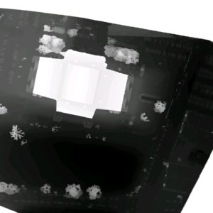
With the powerful combination of drone imagery and ESRI’s ArcGIS platform, we here at the APSU GIS Center have been able to successfully generate three-dimensional models of Austin Peay State University campus buildings by simply flying around them! Research into quicker methods of doing this is still ongoing.

