Project Description
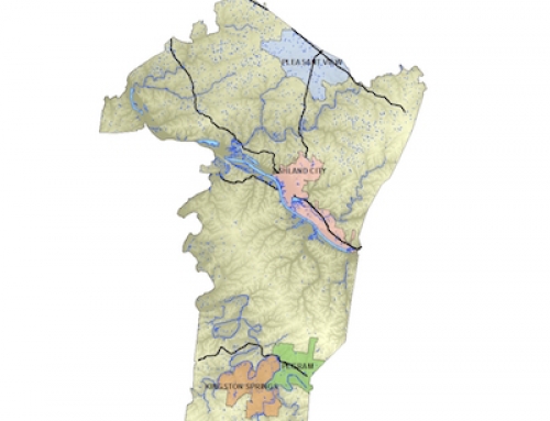
The GIS Center houses numerous GIS datasets for both Montgomery County and the City of Clarksville. The datasets are the basis for the Clarksville Montgomery County GIS map applications. These datasets are utilized by a number of county and city agencies.
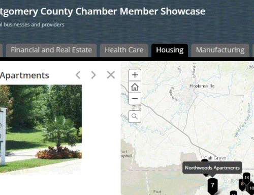
Additionally, much of this information is also made available to the public through a web mapping application that brings functional GIS straight to your doorstep.
Here is a list of the publicly available data offered on our viewer:
- Parcel Information
- Zoning Information
- FEMA Flood Zones
- Detailed, 1m Resolution Aerial Imagery
The Montgomery County Map Viewer also has a variety of built-in tools for delivering a more interactive and engaging experience:
- Street View
- Address Search
- Parcel Search
- Print Your Own Map
- Draw and Measure
- Search By Coordinate


