
The University Geospatial Advantage

We aren’t just a vendor — we’re a strategic partner. As a unit of Austin Peay State University, the GIS Center operates with a mission of public service, not profit.
For over 23 years, we’ve been a fixture in the Clarksville-Montgomery County region — from the 1999 tornado response to today’s UAV fleets, Matterport digital twins, and custom app development.

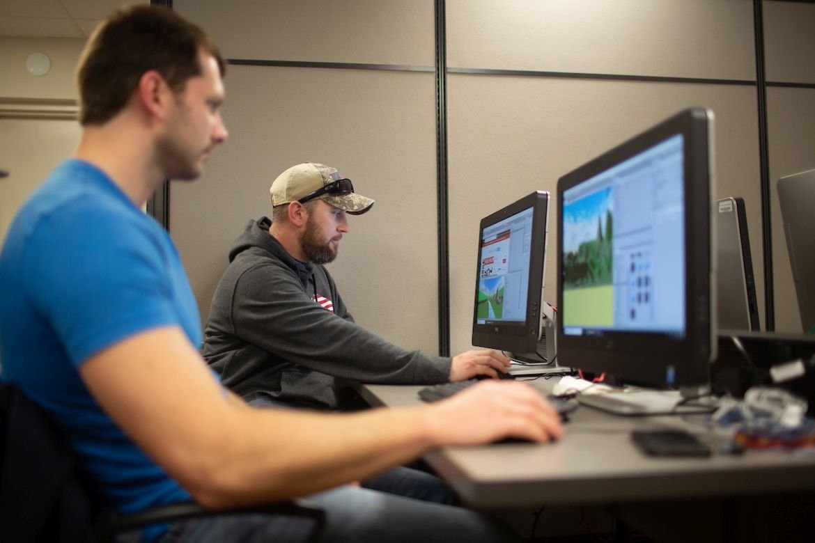
Our University Advantage model pairs expert staff with student researchers to deliver professional-grade GIS, drone, and data science solutions that maximize your budget while training the region’s next geospatial workforce.

Students Vr
01

Neutral, Public-Sector Mission

As a research and service center within Austin Peay State University, our only mission is delivering the best possible data and analysis to support effective public governance — not sales quotas.

02

Academic Powerhouse

Our GIS professionals are directly linked to APSU’s Earth & Environmental Sciences and Computer Science programs, giving partners access to current research and a pipeline of trained talent.

03

Cost-Effective by Design

Our structure pairs expert staff with trained student researchers under expert supervision, delivering professional-grade results at a fraction of private-firm rates.

Our Vision

A Tennessee and Southern Kentucky where every county and city — regardless of budget or staff size — has access to modern, decision-ready geospatial intelligence.

Our Mission

To provide small businesses, counties, and municipalities the best value by maximizing every budget, while giving APSU students hands-on experience solving real public-sector problems.

Meet the Team

The people behind every project — a mix of full-time GIS professionals and APSU student researchers.

Mike Wilson

GIS Director

Mike Wilson is a man that’s up to any challenge. His values are deeply rooted in providing the best for others, especially our clients. With significant expertise in everything GIS, Mike has assembled a team capable of serving our clients.

Doug Catellier

Project Manager

Doug is the mastermind behind almost every project. His leadership and integrity have made him respectable not only to his colleagues, but also our clients.

Mason Cordell

GIS Systems Engineer

Danielle Reeder

GIS Field Research Technician

Kaitlyn Judge

GIS Analyst

Dyana Taylor

Administrative Assistant

Ready to Work With a Different Kind of Partner?

Let’s talk about your project, timeline, and budget — no sales pitch, just an honest scoping conversation.

Scroll to Top